
Every winter, high above the Arctic, a vast whirlpool of frigid air spins anticlockwise around the pole. It sounds like the stuff of disaster films, but the polar vortex is a permanent feature of our atmosphere — and mostly, we should be grateful for it. Its job is containment: it keeps the coldest air on Earth locked away over the Arctic, rather than spilling southwards over our heads. Sometimes, though, the seal fails.
What exactly is the polar vortex?
The vortex is really two beasts. The stronger one lives in the stratosphere, between roughly 10km and 50km above the surface, where winter temperatures plunge below minus 70°C. Beneath it, a weaker circulation sits in the lower atmosphere, closer to the weather we actually experience. The vortex forms each winter because the pole is in near-constant darkness while lower latitudes still receive sunlight. That temperature contrast drives powerful westerly winds that race around the pole — the stratospheric jet — forming a spinning wall of wind around the cold air inside it. Think of it as a whirlpool in a bath: steady rotation, everything held neatly in the middle.

Why this winter is in the news
The polar vortex makes headlines when it weakens. This autumn, the Met Office has been flagging an unusual combination: a significant El Niño developing in the tropical Pacific, and the prospect of a weaker-than-usual polar vortex towards the end of the winter.
El Niño is a natural climate phenomenon — a warming of sea surface temperatures across the central and eastern tropical Pacific. It seems a long way from Somerset, but the atmosphere is one connected system. El Niño rearranges the pattern of tropical rainfall and heating, and those disturbances ripple outwards into the mid-latitudes, nudging the jet stream and the polar vortex in subtle but measurable ways.
Met Office scientists have described the current El Niño as an exceptional event, with global effects already being observed. The forecaster’s framing is careful, and worth repeating: this is a subtle shift in the odds, not a certainty of chaos. El Niño is only one of many ingredients in the UK’s weather recipe.

Sudden Stratospheric Warming: the vortex trips over
The dramatic scenario forecasters watch for is a Sudden Stratospheric Warming (SSW). As the name suggests, this is a rapid warming — tens of degrees in days — in the stratosphere high above the Arctic. It’s usually triggered when a chain of large-scale atmospheric waves, generated over mountain ranges and warm oceans, propagates upwards and physically distorts the vortex.
When that happens, the whirlpool falters. The winds around the pole can slow, stall, or even reverse. Sometimes the vortex splits into two smaller daughter vortices. When it does, the cold air it had been hoarding is suddenly free to move — and gravity being what it is, it floods downwards and outwards.
This is the moment a stratospheric event becomes our problem. In the days and weeks that follow an SSW, the disruption works its way down through the atmosphere and interferes with the jet stream — that river of fast-moving air which normally shepherds Atlantic weather systems past our shores, bringing us our familiar mild, wet, windy winters.
With the jet stream blocked or displaced, the door is opened for air from the Arctic, or even from Siberia, to pour southwards over the UK. This is how “the Beast from the East” arrived in 2018 — an SSW in February weakened the vortex, buckled the jet stream, and funnelling easterlies gave us the deepest widespread snow event in years.

What it means for Monkton Heathfield
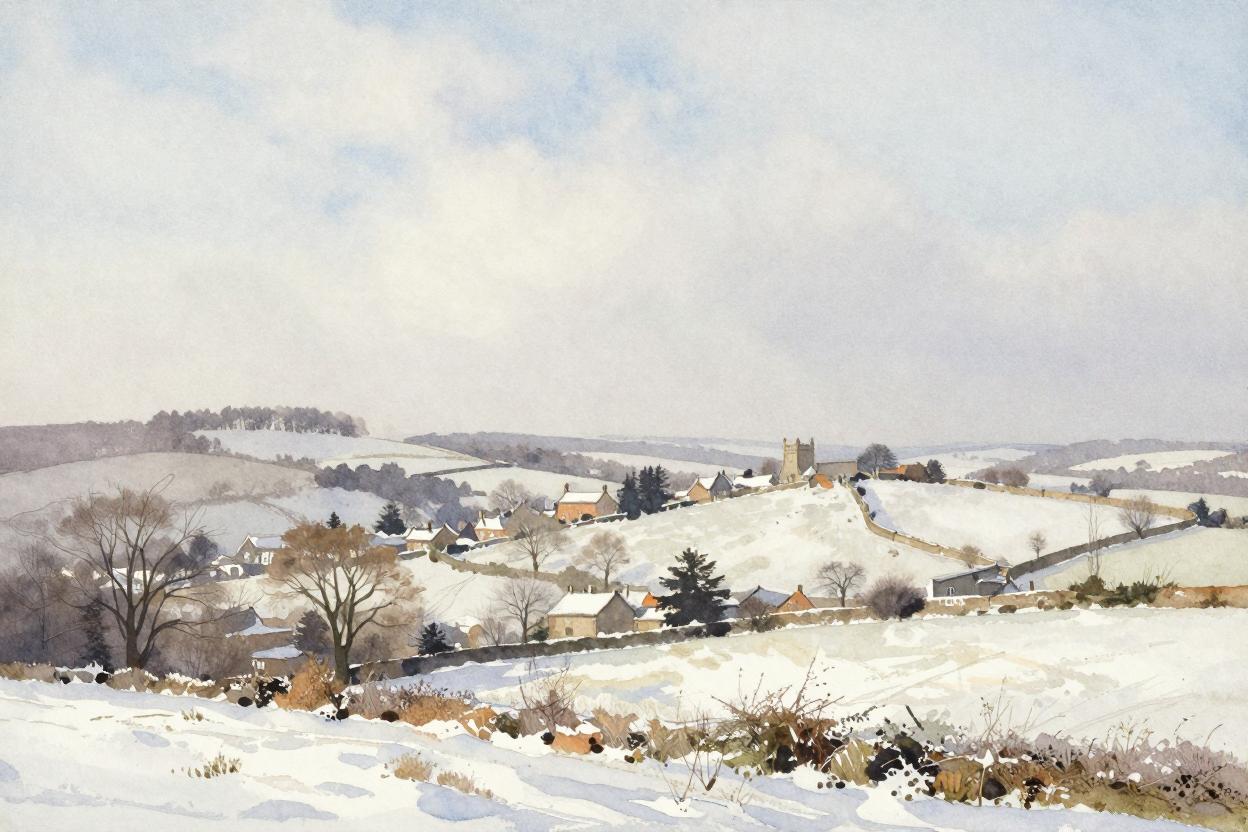
Should a similar pattern develop this winter, our corner of Somerset feels it keenly. Easterly and northerly airstreams that clear our skies bring hard frosts — watch the gauges on this site, because on those nights temperatures can fall sharply, and our data showed last winter how quickly calm, clear polar air lets the mercury slide. Snow, when it comes on an easterly flow, is often drier and powdery than our usual Atlantic fare.
It’s worth keeping a sense of proportion. Even when an SSW occurs — and the Met Office notes a weaker vortex this winter raises the chances — the outcome isn’t guaranteed. Roughly two in three SSW events produce a cold spell in the UK, but the timing and geography vary, and sometimes the atmosphere shrugs it off entirely. A subtle shift in the odds, as their chief forecaster put it — not a snow forecast for Taunton.
That’s the delight of watching the data day by day, though. Whatever this winter sends our way, it will be logged here — every frost, every flurry, every swinging pressure reading — building the local record one day at a time.
How to watch for it yourself
The beauty of the polar vortex is that its decline is forecastable — often two to three weeks ahead. Keep an eye on Met Office updates through the winter months, particularly from January onwards, which is statistically when the stratosphere is most volatile. And if you hear “sudden stratospheric warming” in the news, look east at the wind direction. The connection may take days or weeks — but when the vortex stumbles, Britain tends to notice.
Learn more from the Met Office about the polar vortex on Youtube
After all, all weather is local.